Planet Imagery & Archive

THE ENTIRE EARTH, EVERY DAY

Planet collects and delivers information faster than anyone else, so you can see what’s happening on the ground in near real-time.

Our constellations

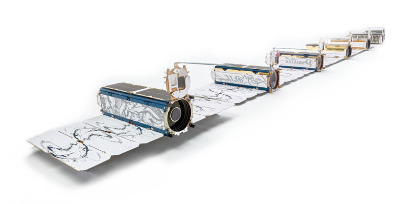
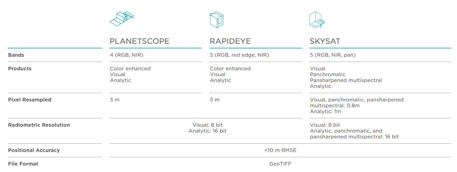
Planet operates 120+ Doves, 14 SkySats and 5 RapidEye satellites that provide a versatile dataset for geospatial analysis of markets, environments and global change. With an industry-leading combination of coverage and cadence, Planet delivers Earth imaging data at unprecedented scale.

VISUAL PRECISION, ANALYTIC POWER

Access color-corrected 3-band and sensor-calibrated multispectral products. Basic, orthorectified, radiance, and surface reflectance imagery are available.